2021年1月26日「マリア島」のGoogle

マリア島(英語:Maria Island, アボリジニ語:Toarra-Marra-Monah) は、タスマニア(オーストラリア)東沖 4 キロメートル(最も近い Point Lesueur の地点)に位置する島。全域は国立公園に指定されている。
座標:42°38′00″S, 148°05′00″E
面積:115.50 平方キロメートル
南北長:20 キロメートル
東西幅:13 キロメートル
1642年、オランダ人探検家、アベル・タスマンはオランダ東インド会社バタヴィア総督、アントニオ・ヴァン・ディーメンの妻 Maria van Diemen (nee van Aelst) の名に因んでマリア島と命名。
アボリジニによる元々の名前は Toarra-Marra-Monah である。
この島は、イギリスによる植民地統治時代に、流刑地として活用されていた。島には、ウォンバットが100頭程度生息している。

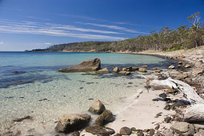
マリア島の浜辺


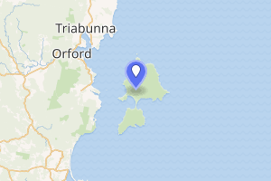
マリア島の位置(薄赤)
https://www.google.com/doodles?hl=ja
google "bird"
2021年1月1日「元日」のGoogle
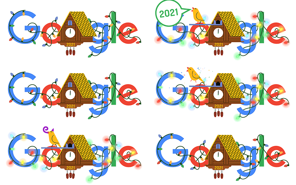
 2021年の元旦のGoogleはこんなに可愛いスタート!!
The time has come to welcome the new,#google
the clock strikes midnight and out comes the cuckoo!
“All the best for the new year,”
the cuckoo bird chirps for all to hear!
Happy New Year’s Day!
https://www.google.com/doodles?hl=ja
google "bird"
1/1


